
A Technical Blueprint for Aerial Excellence
Welcome to the Camilla Ag Drones project intake hub, serving the specific needs of the Mitchell County region. Securing a quote for sophisticated unmanned services is more than a financial transaction; it is the start of a collaborative effort designed to maximize your harvest potential, secure your infrastructure, or streamline your land management. Our project leads are not distant account managers; they are localized technical specialists based right here in the Coastal Plain, equipped to interpret your unique operational requirements and map out a data-centric path to success.
The rhythm of Camilla is dictated by the pulse of the harvest and the steady growth of regional industry. Whether you are a pecan producer protecting a high-value orchard or a developer requiring high-resolution site analysis along the US-19 corridor, we recognize that timing is everything. Our "Consult. Deploy. Document." workflow ensures that every mission is handled with extreme punctuality, total transparency, and surgical accuracy.
The Camilla Ag Drones Methodology
Phase 01: The Coastal Plain Assessment
Every mission begins with a deep-dive into the local environment. For our agricultural partners, this involves a comprehensive review of field topography, crop varieties (including peanuts, cotton, and pecans), and current environmental stressors. For our industrial clients, we scrutinize site specifications, accuracy tolerances, and required data outputs. We reject the "cookie-cutter" approach. In the South Georgia environment, variables such as sandy loam drainage, high humidity, and regional airspace nuances are vital factors we integrate into our flight planning.
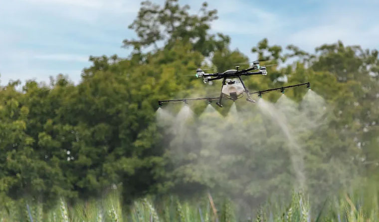
Phase 02: Tactical Execution
With the strategy solidified, our professional flight teams move into action. Being based in Camilla allows us to offer a rapid-response capability that out-of-state contractors simply cannot provide. We utilize the most advanced hardware available, from our high-capacity XAG P150 application systems to our Blue UAS-vetted WingtraOne VTOL mapping units. Our pilots follow stringent safety protocols mirrored after commercial aviation, ensuring every acre is managed with centimeter-level precision while strictly adhering to Georgia's safety regulations.
Phase 03: Actionable Intelligence
The mission is only complete when you have the data necessary to lead. For aerial application projects, we provide detailed "As-Applied" maps that serve as verified proof of coverage and chemical volume. For mapping and surveying, we deliver professional-grade orthomosaics, 3D terrain models, or LiDAR point clouds in the specific CAD or GIS formats your engineers require. We conclude every project with a thorough debrief to ensure the results align with your expected return on investment.
Rooted in Mitchell County: Our Local Promise

Our dedication to Camilla goes far deeper than the flight line. We are committed to the enduring economic health of Mitchell County and the surrounding agricultural belt. To support our local partners, we offer tiered pricing and multi-year service agreements for regional growers and industrial firms. By securing your service windows early, you ensure your operations are prioritized during the peak summer months when regional demand for equipment is at its highest. We act as your year-round technology wing, managing the complex fleet and data so you can focus on running your operation.
Frequently Asked Questions
Project Intake Form
Camilla Regional Office
Ready to Start Your Project?
Discuss your specific goals in Camilla with a regional expert. We provide rapid mobilization and precision scoping for every regional client.